File:Location Morocco.png
Location_Morocco.png (550 × 550 pixels, file size: 110 KB, MIME type: image/png)
Summary
| Description |
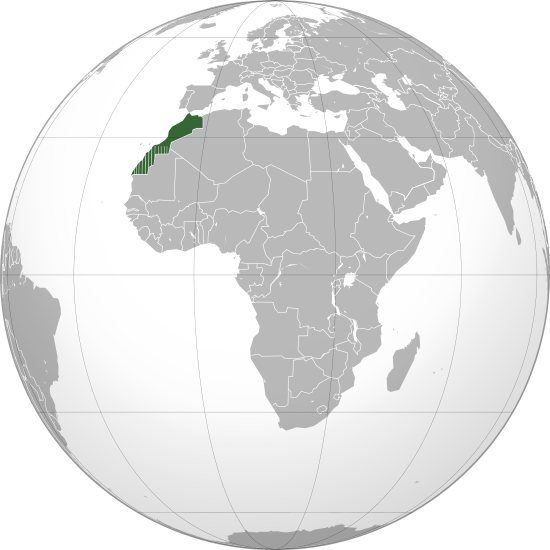
English: Locator of Morocco and it's disputed territory Western Sahara shown as striped. United Nations recognize Morocco as an administrative power of the territory.
|
|---|---|
| Source |
The map has been created with the Generic Mapping Tools: http://gmt.soest.hawaii.edu/ using one or more of these public domain datasets for the relief: ETOPO2 (topography/bathymetry): [http://www.ngdc.noaa.gov/mgg/global/global.html GLOBE (topography): [http://www.ngdc.noaa.gov/mgg/topo/globe.html SRTM (topography): http://www2.jpl.nasa.gov/srtm/ |
| Date |
January 2010(2010-01) |
| Author |
Own work GNU head Permission is granted to copy, distribute and/or modify this map under the terms of the GNU Free Documentation License, Version 1.2 or any later version published by the Free Software Foundation; with no Invariant Sections, no Front-Cover Texts, and no Back-Cover Texts. A copy of the license is included in the section entitled "GNU Free Documentation License". |
| Permission |
See license tag below. |
Licensing
| This file is licensed under the Creative CommonsAttribution-NonCommercial 3.0 International license. | ||
|
File history
Click on a date/time to view the file as it appeared at that time.
| Date/Time | Thumbnail | Dimensions | User | Comment | |
|---|---|---|---|---|---|
| current | 12:00, 17 March 2011 | | 550 × 550 (110 KB) | ***** (***** | *****) | English: Locator of Morocco and it's disputed territory Western Sahara shown as striped. United Nations recognize Morocco as an administrative power of the territory. Description Morocco (orthographic projection).svg "The Secretary-General shared the vi |
You cannot overwrite this file.
File usage
The following page uses this file:


